 vesseltracker.com
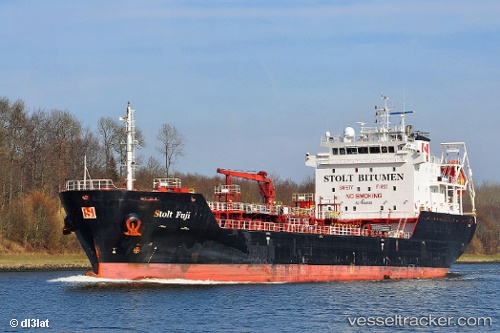
Vessel 'FUJI LAVA' IMO: 9468528, MMSI: 215712000
UTC, 50.8528, -5.8739, course: 359, speed: 10.3
UTC, 51.1776, -5.86882, course: 1, speed: 10.1
2026-01-28 23:31:43 UTC, 51.3686, -5.86815, course: 1, speed: 10.4
Live AIS position:
UTC. 33 nm SW of Dale Roads),
updated 2026-01-28 23:31:43 UTC.
Find the position of the vessel 'FUJI LAVA' on the map. The latter are known coordinates and path.
marine traffic ship tracker show on live map
The current position of vessel 'FUJI LAVA' is 51.3686 lat / -5.86815 lng. Updated: 2026-01-28 23:31:43 UTCDetails:
Last coordinates of the vessel:
UTC, 50.4242, -5.88777, course: 7, speed: 9.8UTC, 50.8528, -5.8739, course: 359, speed: 10.3
UTC, 51.1776, -5.86882, course: 1, speed: 10.1
2026-01-28 23:31:43 UTC, 51.3686, -5.86815, course: 1, speed: 10.4